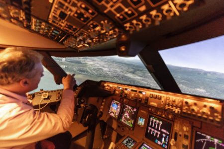
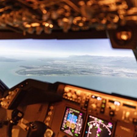
‘The visuals are a blend of Google Earth satellite imagery mixed with technology from video-game producers as you get close to the ground,’ explains Hoey.
Cathay Pacific used this virtual flight to Anchorage in its work to design a computerised approach into a US airport and get it approved by the Federal Aviation Authority (FAA). It’s the first overseas airline to accomplish this aviation feat.
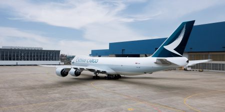
Cathay Cargo crosses the Pacific to link Hong Kong to a network spanning the Americas, with all inbound and outbound flights stopping in Anchorage to take on fuel. This enables the fleet of 21 Boeing 747 freighters – 14 of which are new, state-of-the-art 747-8Fs – to carry more cargo.
Surrounded by snow-capped mountains and beset with challenging weather – especially in winter – Ted Stevens International Airport has three runways that can be used from either end depending on wind direction. It’s always preferable to land aircraft into wind for greater control and a slower speed on the runway so the plane can stop more quickly. This is essential when snow and ice ‘contaminate’ runways, increasing the distance needed for cargo-laden aircraft to come to a halt.
All runways at Anchorage are fitted with instrument guidance that work with aircraft systems to offer an automated ‘instrument approach’ to be flown using the autopilot. The exception is when the wind blows from the west, putting runways 25L and 25R into play. They are numbered after their bearing, with the L and R standing for ‘left’ and ‘right’ to differentiate the parallel strips.
These runways pose a challenge for pilots. ‘There is no instrument guidance to runways 25L and 25R – it is a wholly visual approach,’ explains Hoey. ‘This means there is no data that can be entered into the flight management computer, so the aircraft must be flown manually using visual references – which is not always ideal given Alaska’s weather.’
Although westerly winds usually come in milder summer weather, there are still difficulties with the approach to 25L and 25R, particularly at night when the water and wilderness surrounding Anchorage provide little light for visual reference. Hoey says: ‘What we found from our own safety data was that crew would rather land using the maximum permitted tailwind on the opposite runways rather than this more challenging approach, especially at the end of a long flight when they are tired.’
So, Cathay Pacific started work on a computerised approach, with the support of the FAA and an expert navigational data supplier. ‘Once they realised this idea was driven by our safety information, the FAA was really supportive,’ says Hoey.
But building a new approach is not as simple as drawing some lines on a map. It has to fit the performance of the aircraft in terms of turn radius and speed, and also take in considerations on the ground to satisfy risk and environmental concerns. The process took a good year or so, and the sim tested each iteration of the data ahead of a real-world test and subsequent approval.


